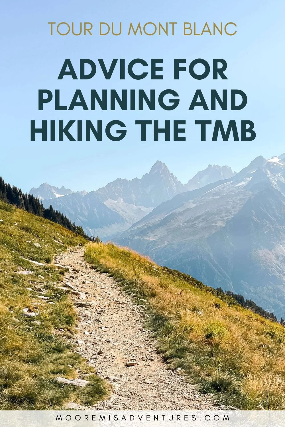
Tour du Mont Blanc Clockwise Itinerary
This is our 12-day self-guided itinerary for hiking the Tour du Mont Blanc in the clockwise direction. While it is the less popular option, hiking clockwise offers more solitude and a unique experience.
In September 2023, a friend and I spent 12 days completing our Tour du Mont Blanc (TMB), a phenomenal multi-day, hut-to-hut style hike that crosses France, Switzerland, and Italy. Each day, we hiked through magnificent scenery and enjoyed the abundance of food and drinks on offer along the way. If you’ve found yourself on this page, it’s likely that you, too, are interested in tackling it—especially in the clockwise direction. And I don’t blame you. In fact, I highly encourage it.
But planning the TMB… well, that’s something else entirely. You must coordinate hut availability and count each day’s mileage to make sure it’s do-able while also trying to remember which towns are where and in what country. And it’s even more challenging to plan in the less popular clockwise direction. Maybe you’re in the midst of all that right now and have found yourself staring blankly at your computer screen, hands on either side of your head, shaking it slightly and wondering if this whole TMB thing is a bad idea (it’s not) and if you should just stay home instead (you shouldn’t). Or maybe I’m just projecting what my state of mind was while planning it (likely). Either way, the overwhelming amount of information needed to plan the TMB is able—eager, even—to give you a brain freeze. And that’s not helpful to anyone.
But there’s hope!
Hello, it’s me, I’m the hope. That “overwhelming amount of information” I mentioned, well, 95% of it is for hiking the TMB anti-clockwise. But information for hiking clockwise? It’s a barren abyss out there. Through my posts, I’d like to help change that.
Now, you may be wondering why clockwise is less popular in the first place. When I planned my trip, I wondered it myself. Was clockwise significantly harder? Was it something about timing? What crucial detail was I missing? The more I researched the more I understood that it had nothing to do with it being an inferior direction to hike but instead had everything to do with the convenience of information available. With the flood of blogs detailing the anti-clockwise route, it makes sense why someone would plan to hike that direction, if only for the sole purpose of keeping their sanity in tact, little as there may be after starting to plan their trip. But being the salmon that I am, ever so eager to swim against the current and in possession of only a faint line of sanity anyway, I became more and more convinced that clockwise was the direction we needed to go.
This post covers our clockwise TMB itinerary and is for my fellow salmon that are tempted to swim upstream. May this post stave off a brain freeze and make your planning infinitely easier.
OUR Clockwise Itinerary
Below is an overview of our trip. You can click on any stage and quickly be taken to its details. Of note, many auberges/refuges are remote and don’t have an identifiable city or town near them, in which case I’ve referred to them simply by their auberge/refuge name. Also of note: we opted to do the TMB in 12 days. While we are strong hikers we wanted to slowly take it in. There are days that can be easily combined, which I’ll note, to shorten your trek. We also wanted time to hike more variants, of which we did three. For a full map, you can view our route on Gaia.
stats
Distance: 117 mi / 188 km
Elevation gain: 32,280 ft / 9,940 m
Elevation loss: 40,075 ft / 12,215 m
Highest point: 8,954 ft / 2,730 m
Variants Taken: 3 (Col Sapin, Col de Fours, Col Tricot)
Number of days: 12
Our Route
Section 1: Chamonix - Lac Blanc
Section 2: Lac Blanc - Trient
Section 3: Trient - Champex-Lac
Section 4: Champex-Lac - La Fouly
Section 5: La Fouly - Rifugio Elena
Section 6: Rifugio Elena - Courmayeur, via Col Sapin variant
Section 7: Courmayeur - Rifugio Maison Vielle
Section 8: Rifugio Maison Vielle - Rifugio Elisabetta
Section 9: Rifugio Elisabetta - Refuge des Mottets
Section 10: Refuge Mottets - Les Contamines, via Col de Fours variant
Section 11: Les Contamines - Les Houches, via Col Tricot varient
Section 12: Les Houches - Chamonix
context for Anti-Clockwise vs Clockwise
The majority of hikers—nearly 90%—choose to hike anti-clockwise. While clockwise is less popular, it has many benefits. Here is why we opted out of the traditional route and chose to hike clockwise.
Why we opted out of anti-clockwise
Most start and end their TMB in Les Houches, so people who start hiking on the same day are generally hiking similar itineraries for their entire trip.
People usually wake up and hike around same time in the morning, so trails are busier as most people go the same direction, including large groups.
If you don’t like hiking alone, this may make anti-clockwise an attractive choice, but crowds aren’t for us.
Why we loved going clockwise
Instead of hiking alongside the same people from start to finish, clockwise hikers see new people each day.
Trails are quieter. We started our morning where most people ended theirs, usually passing anti-clockwise hikers in the afternoon before being on our own again.
Each night, we chatted with hikers at auberges and were able to swap hiking information with anti-clockwise hikers to better prepare for the next day’s hike.
Start & Finish Location
Most start their TMB in Chamonix, France. Some, albeit much fewer, start in Courmayeur, Italy or in Champex-Lac, Switzerland. We opted to fly into Geneva and take a 2-hour bus ride (approx. €20) to Chamonix. The whole operation was simple: at Geneva airport the buses are just outside arrivals and the bus station in Chamonix is a 5-minute minute walk to the city center.
We had a day and half at both the beginning and at the end of our trip and were happy for it. Upon arrival, we conveniently stayed in the middle of town at La Croix Blanche and were able to enjoy the bustling atmosphere of Chamonix. We did a lot of eating, shopping, and wandering as we settled in and prepared for our hike. At the end of our trip, we had time to reflect on our TMB experience and to also take the gondola up to Aiguille du Midi.
As for starting our hike, we took the gondola to Brévent via Planpraz and started our clockwise TMB from there. Most hikers start and finish in Les Houches by taking a bus to and from Chamonix. We wouldn’t have minded doing this but we had a reservation at Refuge du Lac Blanc. Walking from Les Houches to Lac Blanc was too much for one day so we moved the starting location to shorten the distance and elevation.

Start: Brévent Gondola, Chamonix, France
Finish: Refuge du Lac Blanc, France
Mileage: 6.6 mi / 10.6 km
Elevation Gain: 1900 ft / 579 m
Elevation Loss: 2400 ft / 732 m
Auberge: Refuge du Lac Blanc
Read the detailed overview of section 1: Chamonix - Lac Blanc
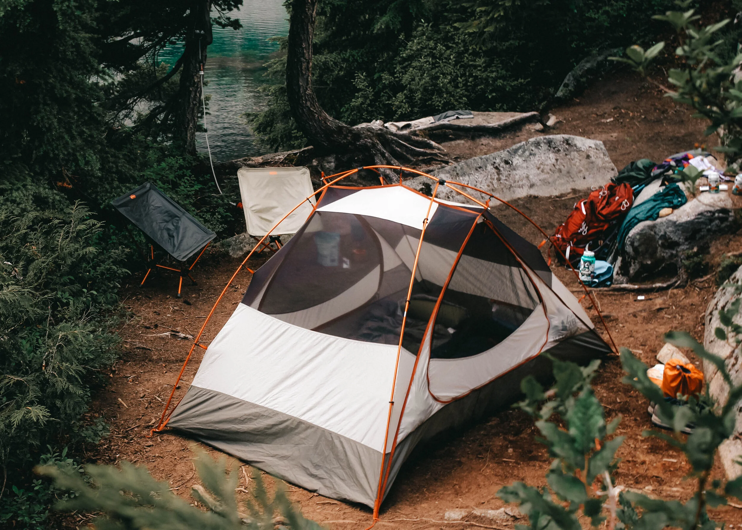
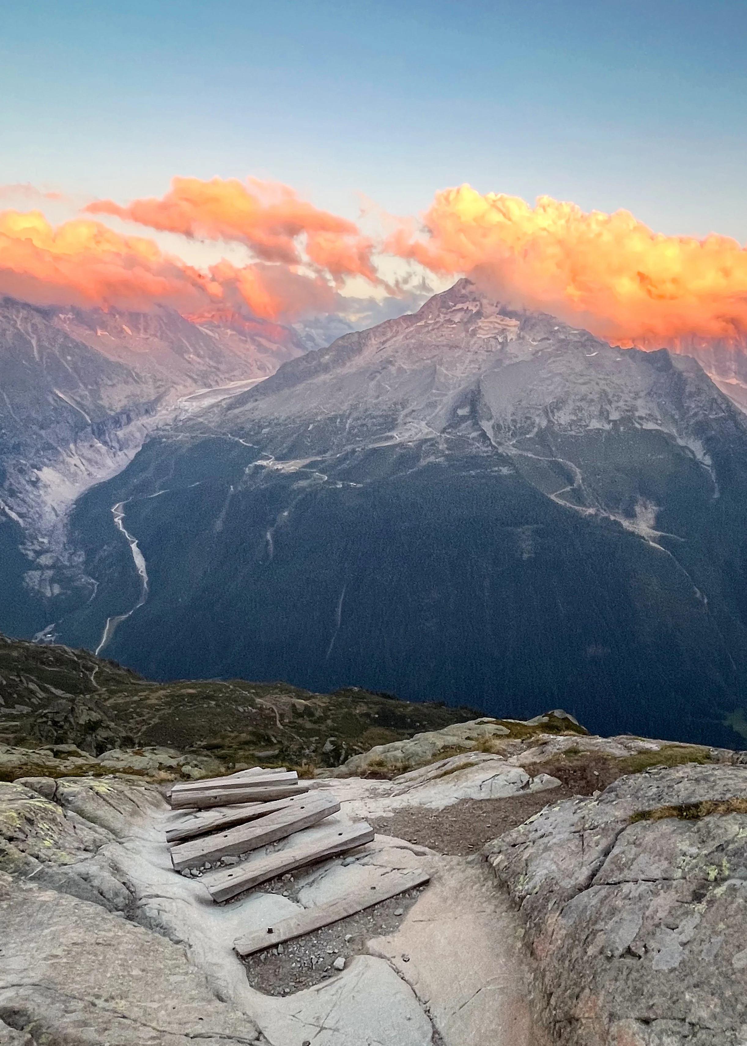
Our first day of the TMB day was an absolute dream. We had wonderful weather, beautiful scenery at every turn, and stayed at Refuge du Lac Blanc, a sought-after hut tucked against the mountains right above a beautiful lake. The hike from Chamonix to Lac Blanc was an excellent start to our trip.
The day began with a gondola taking us to Brévent, the starting point of our clockwise TMB route. We hiked to Col du Brévent and onward to Flégère, a teensy two-building place, for a quick snack break. From Flégère, we began our climb to Lac Blanc which was easily the most stunning section of the day. Small lakes and wooden walkways dotted the exposed trail and views of the Mont Blanc mountain range were limitless. Since Lac Blanc is a popular day hike from Chamonix, there were a good number of people around yet it never felt overcrowded. Then again, we were running on a “first day” high so perhaps we didn’t take too much notice of them.
The only hiccup, an error on my part I admit, happened when we arrived at Refuge du Lac Blanc. There was a mix-up of dates and we almost found ourselves without a bed on our very first night. Fortunately, it all worked out and we enjoyed the cozy refuge and took in its extraordinary surroundings. I only wish we’d arrived earlier in the day to relax there for longer.
Highlights
Hiking from Flégère to Lac Blanc
Staying at Refuge du Lac Blanc
Lowlights
A small scheduling error that lost us our beds
Small meal portions at Refuge du Lac Blanc

Start: Refuge du Lac Blanc, France
End: Trient, Switzerland
Mileage: 11.4 mi / 18.3 km
Elevation Gain: 2800 ft / 853 m
Elevation Loss: 6500 ft / 1981 m
Auberge: Auberge du Mont-Blanc
Read the detailed overview of section 2: Lac Blanc - Trient
Day 2, from Lac Blanc to Trient, was long and, speaking to one section in particular, brutal. Soon after leaving Refuge du Lac Blanc we descended a series of ladders to reach the valley floor. We took a rest break in the cute hamlet of Tré-Le-Champ and then took a small detour through the woods to La Tour where we began our climb to Col du Balme.
The hike to Col du Balme was tough but beautiful. By the time we reached the refuge at the top we had officially left France and crossed into Switzerland. After a delicious lunch, we made our way down to Trient where we planned to overnight.
The trail to Trient is what made the day one of the hardest on the TMB for us. It was relentlessly downhill and the terrain was almost exclusively loose, ankle-twisting rocks. But eventually, though it felt like weeks had dragged on over the span of a few hours, we made it to our auberge.
Auberge du Mont-Blanc is a great respite for hikers. We enjoyed dinner with fellow hikers from Ireland and Israel and even celebrated Mikki’s birthday (a day early).
Highlights
Lunch at Refuge Col du Balme
Midday break in the small, quiet village of Tré-Le-Champ
The auberge singing Mikki “Happy Birthday”
Lowlights
The grueling miles down from Col du Balme to Trient

Mileage: 12.6 mi / 20.3 km
Elevation Gain: 3150 ft / 960 m
Elevation Loss: 3625 ft / 1105 m
Auberge: n/a
Read the detailed overview of section 3: Trient - Champex-Lac
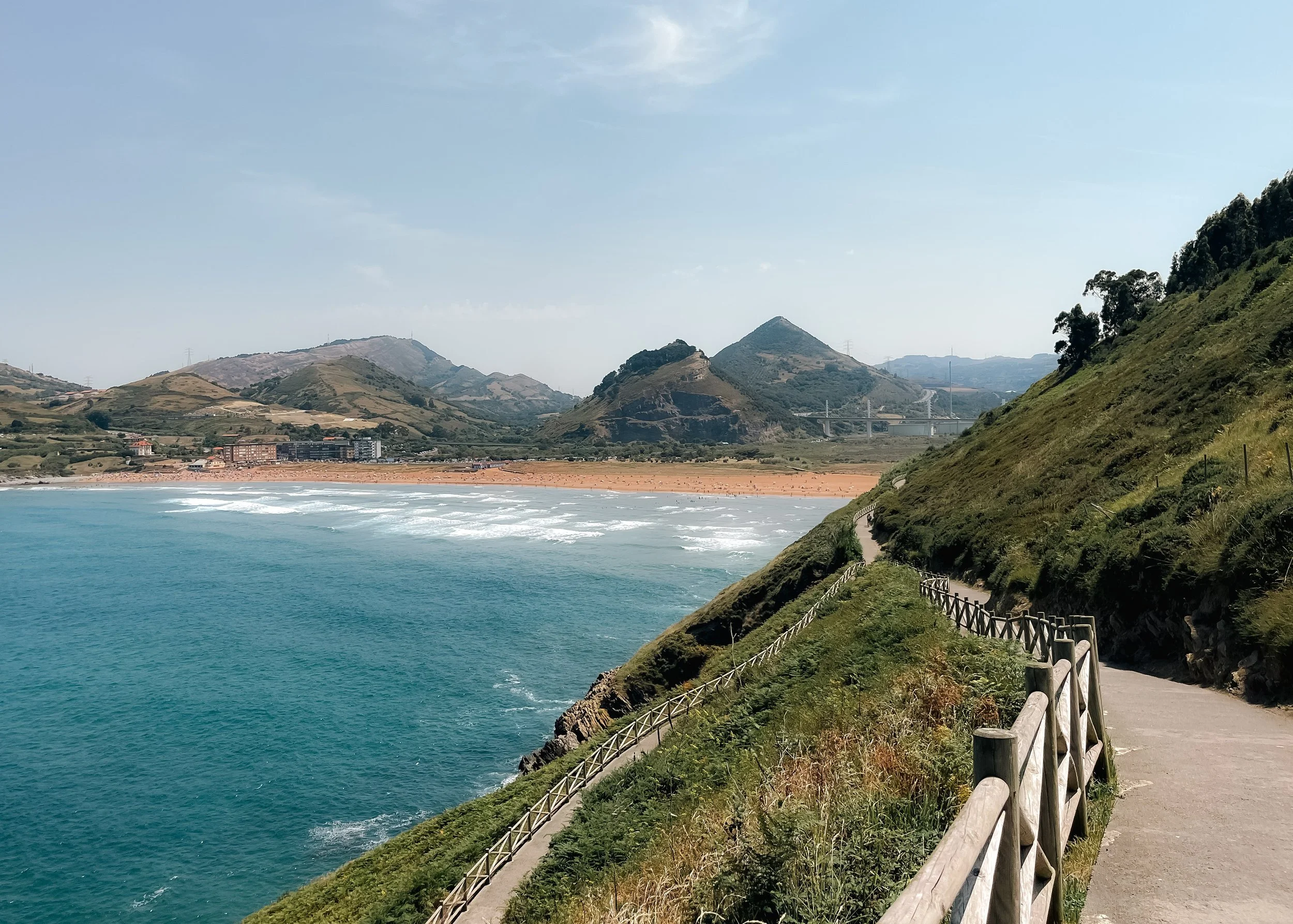
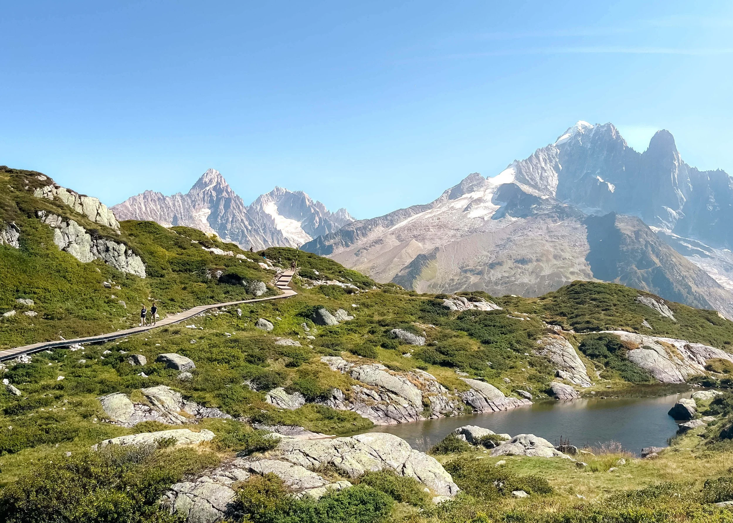
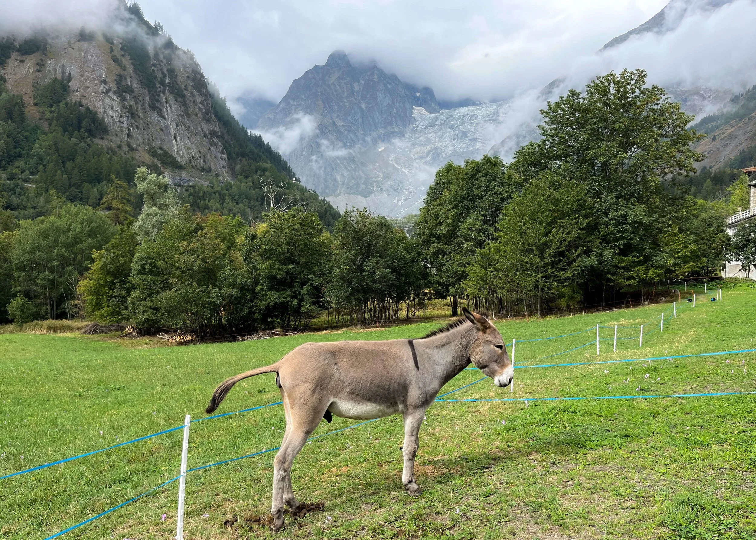
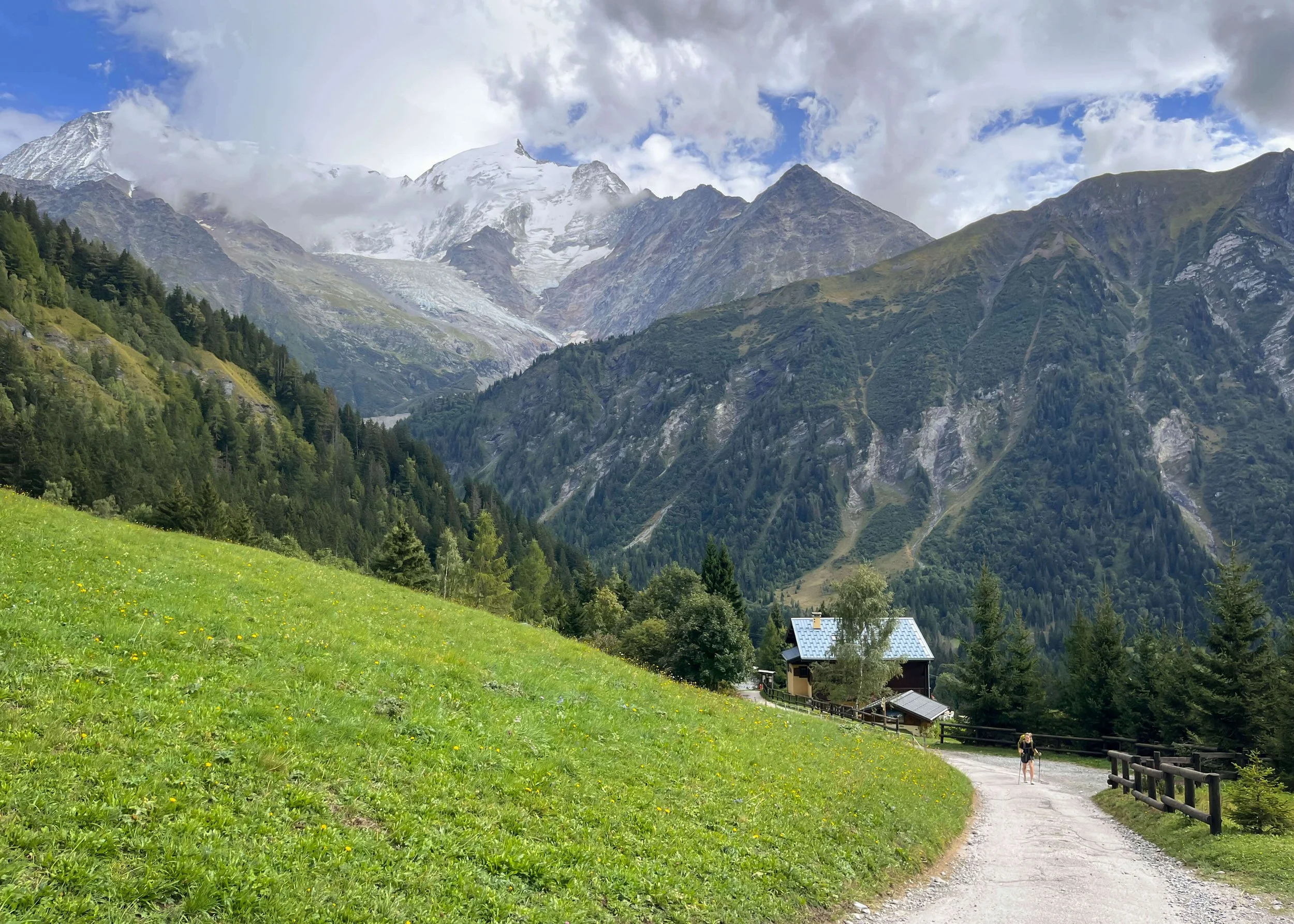
Day 3 took us from Trient to Champex-Lac, covering the northernmost portion of the Tour du Mont Blanc through Switzerland. We left Trient, a small village in the valley, and made our way to Forclaz, an equally small village just outside the forest. After a quick coffee stop, we carried on, trying to outpace a large American tour group that seemed to be a common theme around here. After four miles or so of steep climbing, we arrived at Bovine. We’d hoped it would be open for lunch, but alas, it was too late in the season. Plan de l’Au, the next potential contender for food a steep mile of descent away, was also closed.
We continued through Swiss farming villages, saying hello to a few ambivalent cows along the way, until we reached the lakeshore of Champex-Lac. It was quiet when we arrived, as most towns are around 3pm, but we found one place serving food. We also found a grocery store and stood in line with the entirety of a tour group who had arrived just before us. We stocked up on dinner food, snacks for the next day, and wine, for good measure. Only another two miles stood between us and the chalet we rented for the night where we were going to make a spaghetti feast and enjoy a night of solitude.
Highlights
Our little chalet and pasta dinner
Lowlights
Many tour groups in the area
Closed huts near the end of the season
Mileage: 10 mi / 16 km
Elevation Gain: 2360 ft / 719 m
Elevation Loss: 875 ft / 267 m
Auberge: Auberge des Glaciers
read the detailed overview of section 4: Champex-Lac - La Fouly
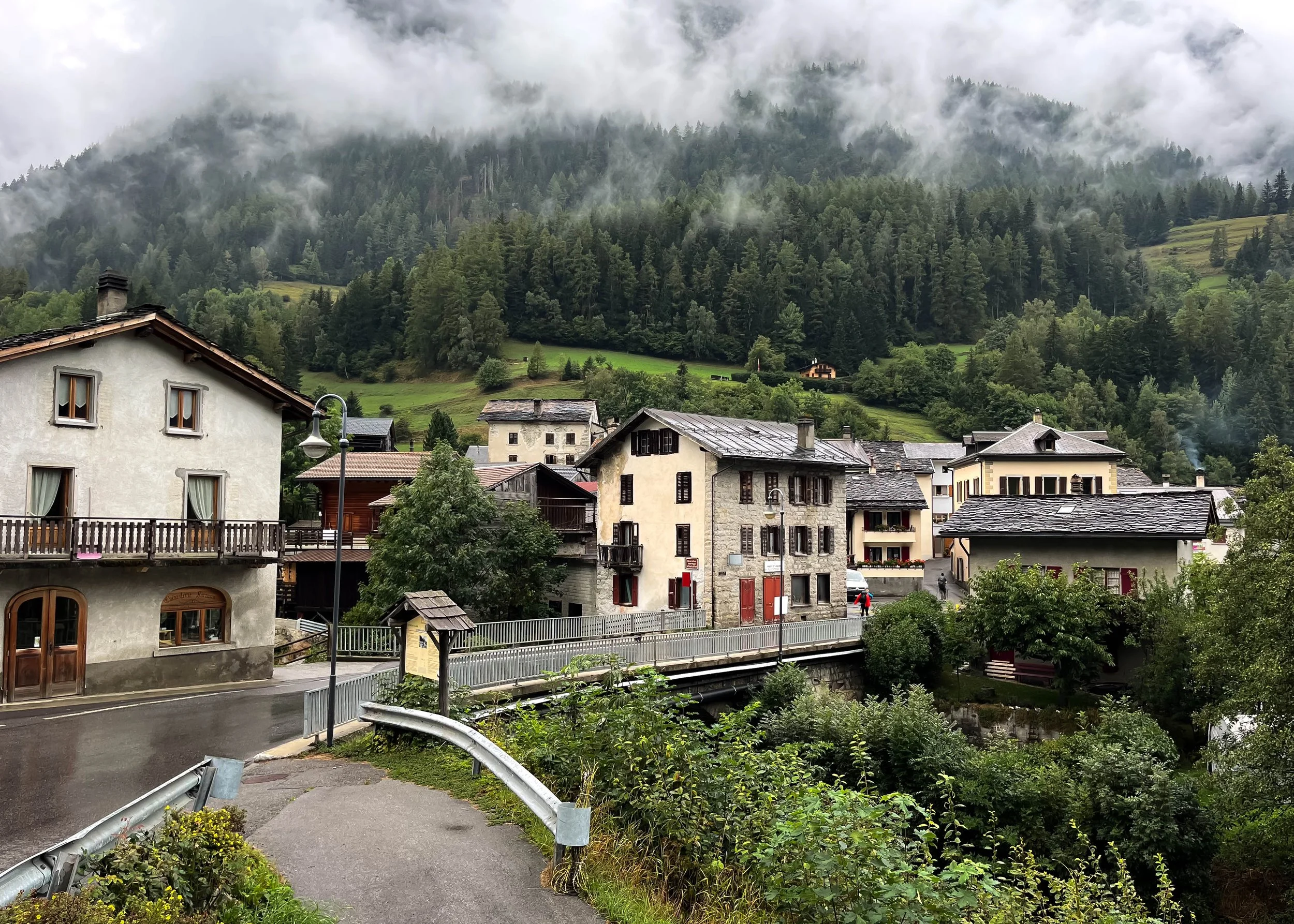
On Day 4, we continued our hike through Swiss portion of the TMB. It was a bit lackluster of a day. Not difficult, per se, butd long, wet, and without much in the way of scenery. Though, to be fair, I imagine it is quite scenic on a less rainy day. The hike from Champex-Lac to La Fouly wasn’t my favorite, but it had its moments, as all days do.
In the morning, we left our chalet in Champex-Lac and walked about three miles to the small village of Issert. If you’re in the market for a life-changing sandwich, make a beeline for Café du Châtelet—you will be well rewarded. From there, we hiked through bright green pastures in the valley, stopping at the medieval village of Les Arlaches where tiny figurines abound, before entering the forest. This is the section where the elevation is, though it’s not challenging.
Eventually, we made it to La Fouly, a small town in the valley, and to our accommodations: Auberge des Glaciers. This wasn’t my favorite place that we stayed at by a long shot, though their hot chocolate was pretty delicious, so I’ll give them that. It’s not that the place was terrible, but it also wasn’t anything to write home about.
Highlights
Sandwiches in Issert
Lowlights
Gloomy weather
Auberge des Glaciers

Mileage: 7.8 mi / 12.5 km
Elevation Gain: 3400 ft / 1036 m
Elevation Loss: 1900 ft / 579 m
Auberge: Refugio Elena
Read the detailed overview of section 5: La Fouly - Elena
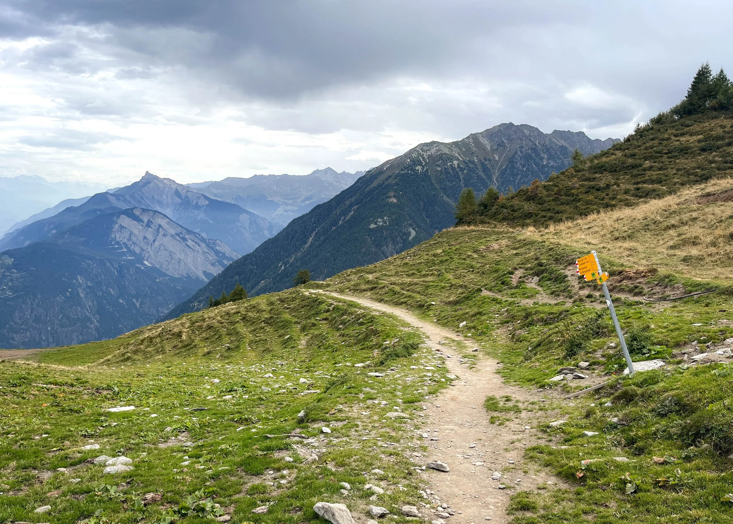
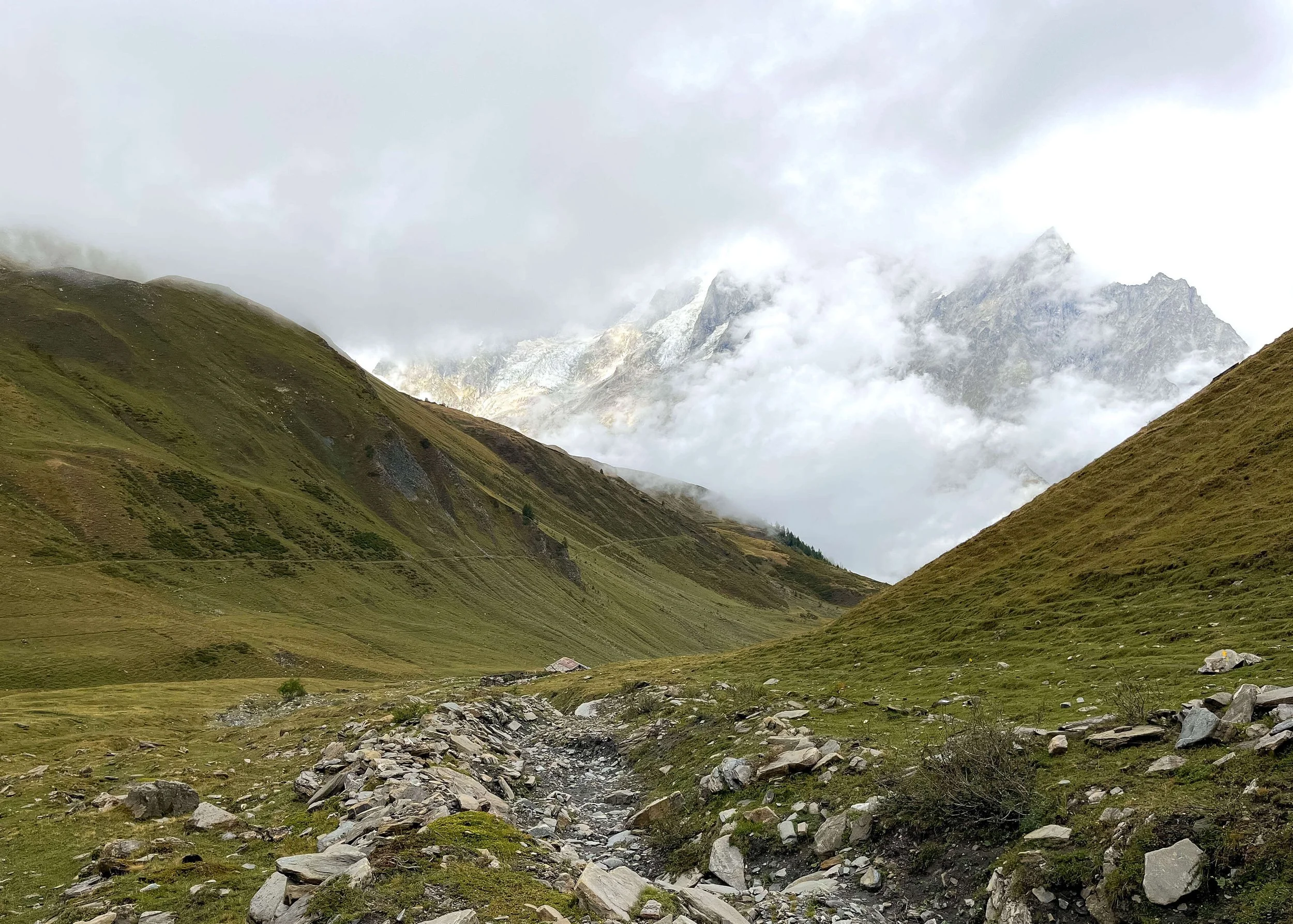
On Day 5, we hiked out of from La Fouly to Rifguio Elena, hiking out of Switzerland and into Italy via the stunning Grand Col Ferret. The trail was mostly a gradual uphill climb, so nothing too strenuous. We left our auberge in La Fouly and made our way through a small forest before walking through pastures to Ferret, a small town with a place for coffee.
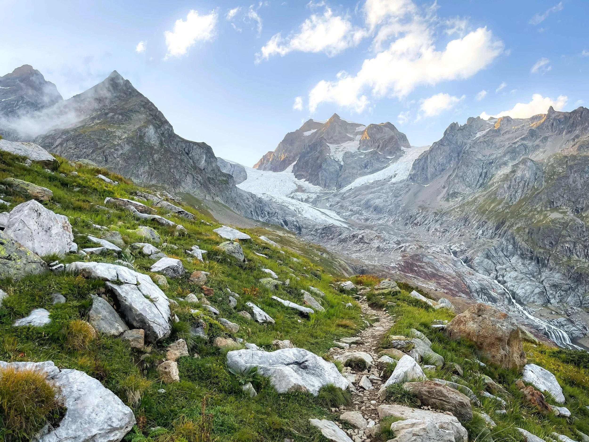
From there, we hiked to Col Ferret, an expansive area with meandering trails that weave through grassy hills with beautiful mountains all around. It is some of the best scenery on the TMB, if not my very favorite. The high point of the day is Grand Col Ferret (yes everything had “Ferret” in it). Here, a ridgeline marks the border between Switzerland and Italy. We had a relatively steep descent from here to Rifguio Elena, a large and cozy hut in the remote valley below glaciated mountains.
Highlights
The scenery in Col Ferret
The ginormous salad at Alpage de La Peule
Lowlights
Foggy weather at Refugio Elena, which seems par for its course
Mileage: 14.7 mi / 23.6 km
Elevation Gain: 3550 ft / 1082 m
Elevation Loss: 6000 ft / 1829 m
Auberge: n/a
Read the detailed overview of section 6: Rifugio Elena - Courmayeur
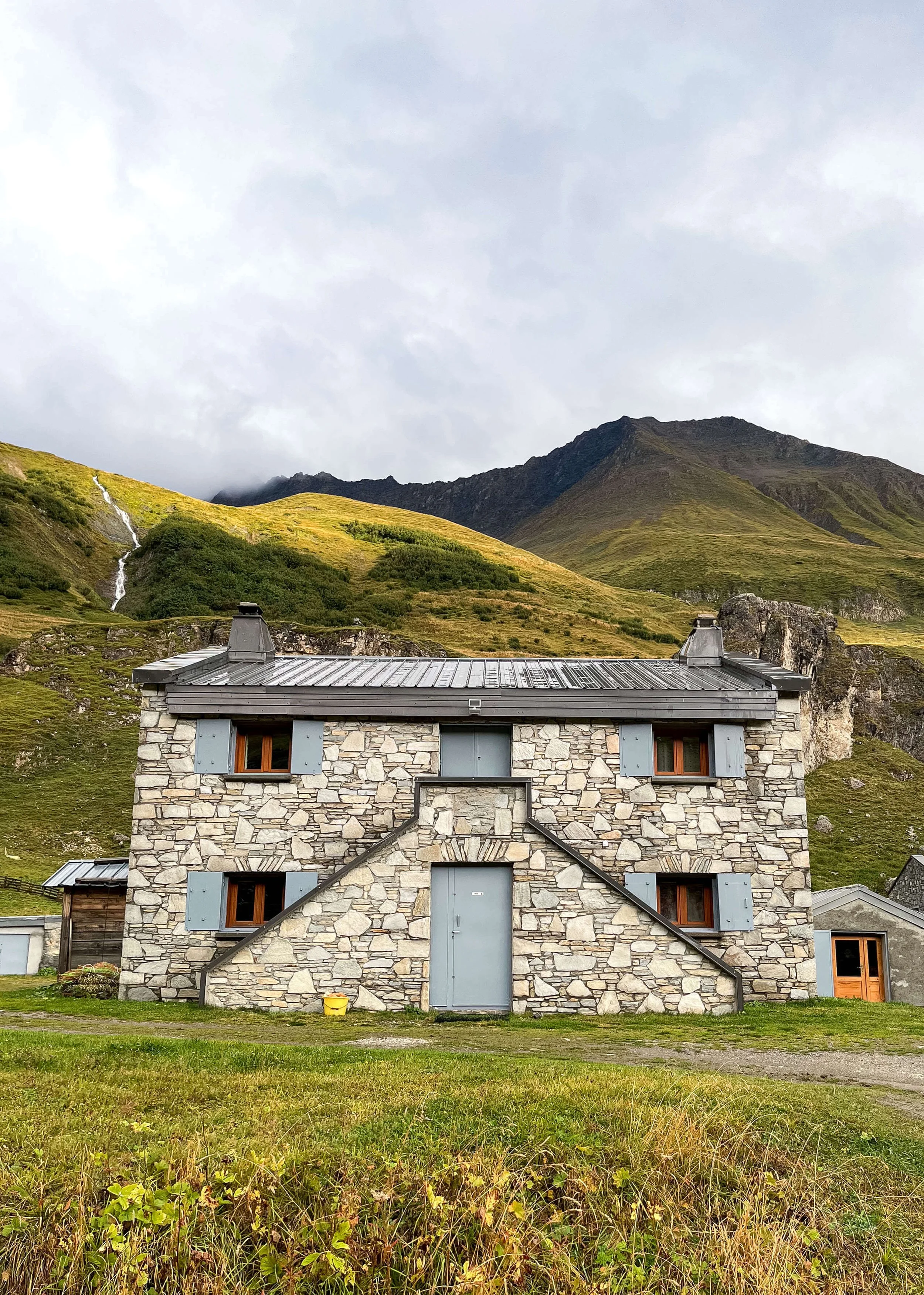
Day 6 of our TMB took us from Rifugio Elena to Courmayeur, the “big” city on our route, where we had a rest day at an animal hotel—right up our alley.
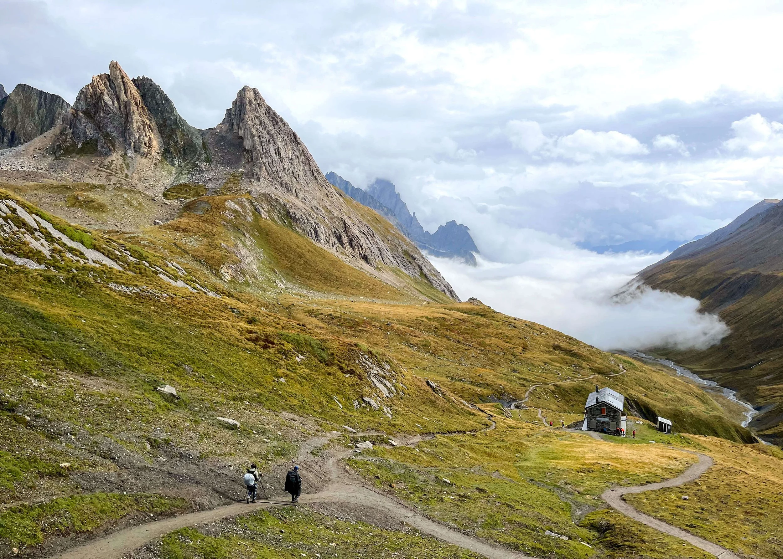
We conquered the 1000 foot descent from Rifugio Elena, then the uphill battle to Rifugio Bonatti, a beloved spot by hikers. We then opted to take the longer variant to Col Sapine which had idyllic pastures filled with cows and sheep. Eventually, we were plopped at the doorstep of Courmayeur, a classic village of stone buildings, abundant of flowers, quaint pubs, and, to our absolute delight, glacier views. We happened to find ourselves in Courmayeur during a trail running ultramarathon and it was delightful to cheered on runners as they finished their race.
Highlights
Aperol spritz in town while cheering on trail runners
The cutest pub near our farm hotel (also a highlight)
Accidental romantic dinner in a cellar
Lowlights
Another day of foggy weather
Mileage: 6.2 mi / 10 km
Elevation Gain: 2569 ft / 783 m
Elevation Loss: 464 ft / 141 m
Auberge: Rifugio Maison Vieille
Detailed overview of section 7: Courmayeur - Maison Vieille — coming soon!
Mileage: 6.4 mi / 10.4 km
Elevation Gain: 1700 ft / 518 m
Elevation Loss: 1581 ft / 482 m
Auberge: Rifugio Elisabetta
detailed overview of section 8: Maison Vieille - Elisabetta — coming soon!
Mileage: 5.3 mi / 8.5 km
Elevation Gain: 1175 ft / 358 m
Elevation Loss: 2050 ft / 625 m
Auberge: Refuge des Mottets
detailed overview of section 9: Elisabetta - Refuge Mottets — coming soon!
Mileage: 11.7 mi / 18.8 km
Elevation Gain: 3325 ft / 1013 m
Elevation Loss: 4625 ft / 1410 m
Auberge: Refuge Nant Borrant
Variant:
detailed overview of section 10: Refuge Mottets - Les Contamines — coming soon!
Mileage: 16 mi / 25.7 km
Elevation Gain: 5000 ft / 1524 m
Elevation Loss: 6000 ft / 1829 m
Auberge: Gîte Michel Fagot
Variant:
detailed overview of section 11: Les Contamines - Les Houches — coming soon!
Mileage: 7.6 mi / 12.2 km
Elevation Gain: 2396 ft / 730 m
Elevation Loss: 2314 ft / 705 m
Auberge: n/a
detailed overview of section 12: Les Houches - Chamonix — coming soon!
PSSST!
This post contains affiliate links, which means I may earn a small commission (at no cost to you, I promise!) if you purchase through a link on my site.Pin for later:
You may also like: