Mount Townsend via Little Quilcene River
Distance
6.8 miles
ELEVATION GAIN
2200 feet
Area
Olympic Peninsula
Difficulty
Moderate - Difficult
Permits
None
Hike Summary
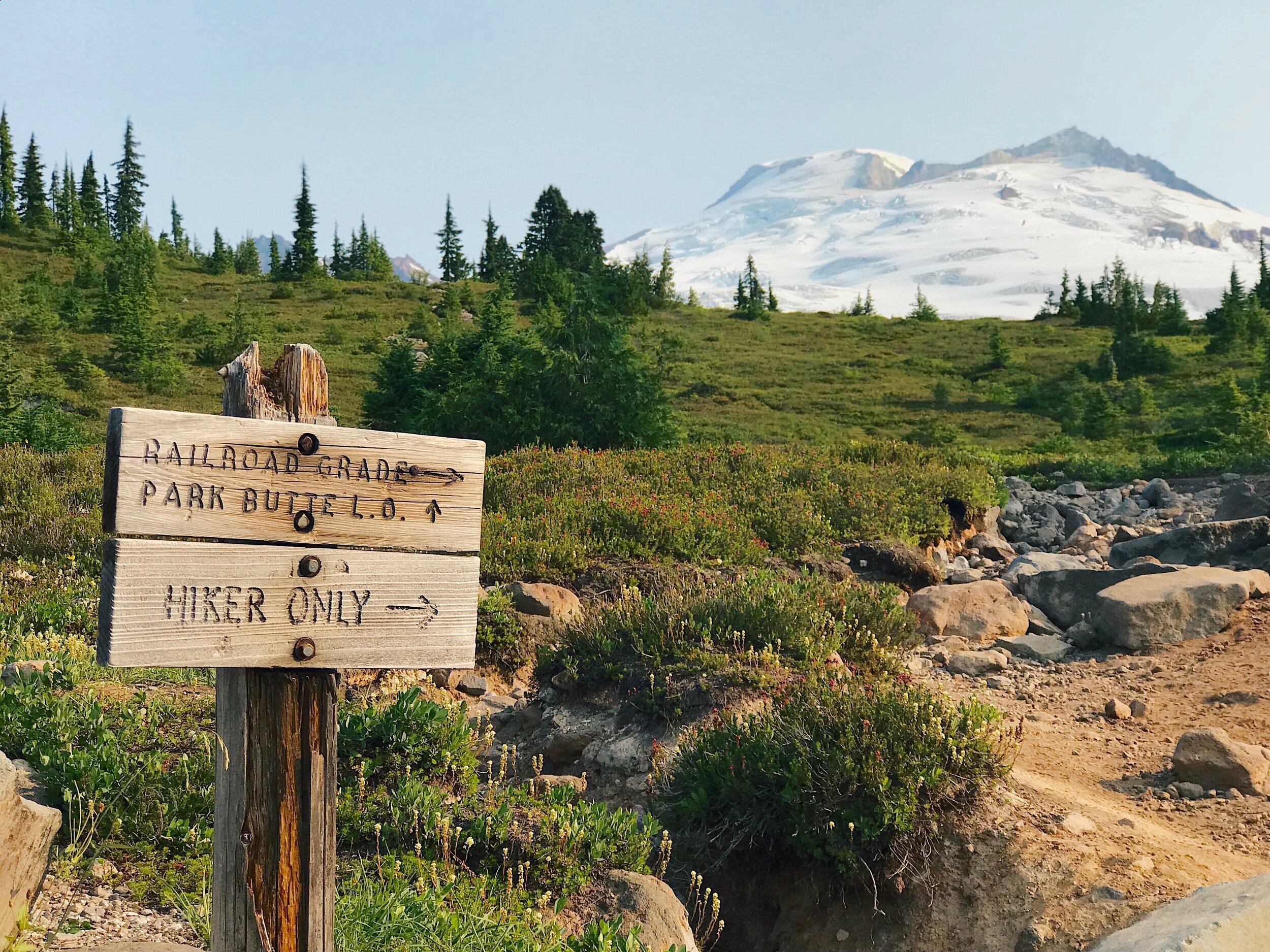
There are several trails to reach Mount Townsend, a stunning summit that shows off 360º views of the Olympics, Mt. Rainier and the Hood Canal. The Lower and Upper Trailheads are the more popular routes while Little Quilcene River #835 (with an entrance near the Tubal Cain trailhead to the west and another from the east) is less crowded and enters from the backside. Around Mount Townsend are several other connecting trails as well, including Silver Lake and Welch Peaks.
We did Little Quilcene River from the western side, which is a steeper, more demanding route than the Upper Trailhead. The trade off is a near-empty trail and a solid workout on the buns - which may or may not be your cup of tea. From the moment you step on the trail you are going upward - and it doesn’t stop for two miles. The trail never really levels out, even for a short time, so many short breaks were had at an incline. Throughout this portion of the hike you are going through the forest but the enticing peek-a-book views are coming, don’t worry.
After two miles the trail hits a fork, with Mount Townsend to the left. For the next 1.4 miles, the trail is more exposed and reveals epic panoramic views of the Olympics and the Hood Canal (and Canada!) beyond. Soon you reach the summit, which is like a scene straight out of the Sound of Music. I highly recommend frolicking with arms wide open, it’s glorious.
Getting There
Little Quilcene River trailhead can be accessed from the west via the microscopic city of Quilcene, just off Highway 101, or from the north via Sequim. We came from Sequim and the road was heavily potholed but do-able. If coming from this direction, keep in mind that there are several intersecting forest roads in the area and therefore a good map is essential. You’ll likely lose service so I recommend downloading a map beforehand just to be safe. The forest roads you’ll take from this direction are FS 2909 and FS 2820. I gather that from Quilcene it is a smoother and shorter ride (35 minutes vs. 1 hour via Sequim) exclusively on FS 2820.
Trailhead coordinates: 47.8866, -123.0419
From Seattle
There are a few options to get to the Olympics from the city. The longest is to drive around through Tacoma from I-5 and up Highway 16. The more fun way, in my opinion, is to take the ferry, either from Kingston/Edmonds or Bainbridge/Seattle. For the ferry, you’ll pay $20 each way and need to check the schedule beforehand. It’s nice having two ferry options since we missed the Kingston ferry by a hair and continued to Bainbridge to make the 9pm ferry.
Ferry schedules
One last consideration is construction on the Peninsula, which happens often and can cause hour-long delays. Check for Hood Canal Bridge closures and general travel alerts before heading out.
With tall trees and epic views, driving on the Peninsula is delightful. On our way back to Sequim where we left a car, we drove through forests and beautiful farm pastures with bright yellow wildflowers. There was one impromptu and very necessary pit stop made when we saw a field of cows that looked straight out of a Darigold ad. This stop may have set us back from making the Kingston ferry on time but it was worth it. I mean, just look at that face.
Prepare for Your Hike
View more hiking details for Mount Townsend via Little Quilcene River on Washington Trails Association. There isn’t a designated page for this hike on AllTrails but if you navigate the trail using a portion of the route on the Little Quilcene Trail (historic) page (start from the middle of their route map until you reach Mount Townsend).
Gear
This is a pretty straight-forward adventure but here is a list of gear that I recommend to bring along:
Down jacket: Mount Townsend summit is totally exposed and quite windy. Don’t freeze your toosh off up there.
Trekking poles: I didn’t need them but brought them along and they could have been nice on the knees going down.
Whether or not I plan to use them, I always pack a first-aid kit and headlamp.
Beer. Smart hikers always bring beer.
need to restock your pack? Check out my guide for Must-Have Hiking Gear!
Last-Minute Tips
Dogs are allowed on Mount Townsend so bring along the pooch
If waiting for the ferry, stop at the Bainbridge Brewing Alehouse or if in Kingston, the Kingston Ale House or Downpour Brewing
There are tiny patches of snow but its nothing that’ll stop you, even in gym shoes
Pssst: This post contains affiliate links, which means I may earn a small commission (at no cost to you, I promise!) if you purchase through a link on my site.


